
NSTA Open Data
Find, map and query the North Sea Transition Authority's public data on the UK Continental Shelf: licences, wells, fields, pipelines, seismic surveys and carbon storage.
- 300
- Datasets, documents and apps
- 472,464
- Map features
- 10
- Themes
Popular datasets
Open any dataset to see it on a map, query it, and download it in the format you need.
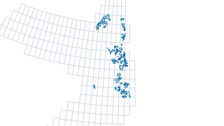 Areas
Licensing & Rounds
UKCS offshore petroleum licences
A Licence is a geographically defined area for prospecting, exploration or extraction of petroleum resources. The North Sea Transition Authority's licensing system covers oil and gas within Great Britain, its territorial sea and on the UK C
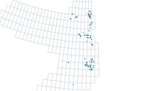 Areas
Fields & Production
UKCS offshore hydrocarbon fields
Offshore field outlines as provided by operators at the point of field determination or re-determination. A hydrocarbon field is defined by the NSTA as a single geological petroleum structure encompassing the maximum extent of hydrocarbons
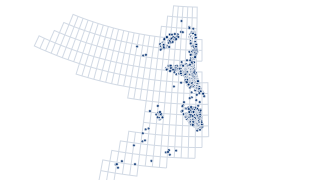 Points
Wells
UKCS offshore wellbores top holes
A wellbore is a path of drilled footage from the Well Origin to a terminating point. The location of each wellbore is the wellbore's well origin. A well origin is the location on the surface of the earth or sea bed where the drill bit penet
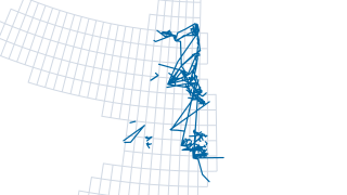 Lines
Infrastructure & Decommissioning
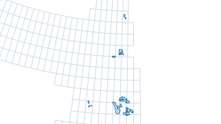
UKCS offshore infrastructure pipeline linear
NSTA Infrastructure Data is a set of data reported to the NSTA by relevant persons pursuant to Section 34 of the 2016 Energy Act. The data represents physical structures and facilities installed on the UKCS in fulfilment of relevant persons
 Areas
Carbon & Gas Storage
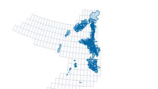
UKCS carbon storage licences - current
Carbon capture and storage (CCS) refers to a number of techniques and processes which capture carbon dioxide emissions, generally from industrial processes. Thecarbon dioxide (CO2) can then be transported, including via repurposed gas pipel
 Areas
Seismic & Geophysics
UKCS NDR 3D seismic surveys
Seismic Data from the previous (V1) National Data Repository, last updated on June 30th 2021. Seismic Header Information: NDR_2dseis_eab Navigation information for all offshore 2D seismic surveys, as reported to BEIS OPRED in seismic survey
The UK Continental Shelf in layers
Petroleum and carbon storage licences, oil and gas fields, pipelines and recent wells, drawn straight from the NSTA’s published data. Pick a layer to open it, or combine any of them on the map.
The UKCS in layers
drawn from this portal’s dataBrowse by theme
Every dataset, document and app on the NSTA's ArcGIS Hub, grouped by theme.
Data story
Sixty years of drilling on the UK Continental Shelf
13,388 offshore wellbores since 1964. Drilling peaked at 425 in 1996; in 2025 there were 41, and not one exploration well.
Read the storyRecently updated
Licensing & Rounds
UKCS all companies list
UKCS all companies list (ED50)
AreasCarbon & Gas Storage
UKCS carbon storage licences - current
Carbon capture and storage (CCS) refers to a number of techniques and processes which capture carbon dioxide emissions, generally from industrial processes. Thecarbon dioxide (CO2) can then be transported, including via repurposed gas pipel
 Areas
Licensing & Rounds
UKCS offshore petroleum licence subareas by equity group holder
A Licence is a geographically defined area for prospecting, exploration or extraction of petroleum resources. The North Sea Transition Authority's licensing system covers oil and gas within Great Britain, its territorial sea and on the UK C
 Areas
Licensing & Rounds
UKCS offshore petroleum licence subareas
A Licence is a geographically defined area for prospecting, exploration or extraction of petroleum resources. The North Sea Transition Authority's licensing system covers oil and gas within Great Britain, its territorial sea and on the UK C
 Areas
Onshore (England)
UK England onshore petroleum licence subareas
A Licence is a geographically defined area for prospecting, exploration or extraction of petroleum resources. The North Sea Transition Authority's licensing system covers oil and gas within Great Britain, its territorial sea and on the UK C
 Areas
Onshore (England)
UK England onshore petroleum licence subareas by equity group holder
A Licence is a geographically defined area for prospecting, exploration or extraction of petroleum resources. The North Sea Transition Authority's licensing system covers oil and gas within Great Britain, its territorial sea and on the UK C
Using the data
Free to reuse, with attribution
The NSTA makes this data available under its User Agreement: copy, publish and adapt it, exploit it non-commercially, and credit it as “Contains information provided by the North Sea Transition Authority and/or other third parties”.
Find and use a dataset
Search by name or browse by theme. Map layers open on a map you can filter and query with SQL, and download as CSV, GeoParquet or GeoJSON. Reports and data packages link to the NSTA’s own files.
Missing something?
Seismic and well data reported by licensees is in the National Data Repository. For questions about the data, see the NSTA’s data contacts.
Other NSTA data sources
- UK National Data Repository (NDR)
Seismic and well data reported by petroleum licensees.
- Data and insights
The NSTA’s data pages: wells, production, seismic, infrastructure, fields and licences.
- Interactive maps and dashboards
The NSTA’s mapping apps, spatial dashboards and Power BI reports.
- Printable maps
UKCS activity and quadrant maps as PDFs.
Your ArcGIS stays the source
Nothing changes for the NSTA’s GIS team. Data keeps being managed in ArcGIS; this site reads it, can refresh on a schedule, and gives users a faster way in: one dataset per layer instead of one per coordinate system, search across everything, maps that load instantly, and queries that run in the browser.