
Datasets
300 datasets, documents and apps published by the North Sea Transition Authority on its ArcGIS Hub.
300 results
Licensing & Rounds
UKCS all companies list
UKCS all companies list (ED50)
 Areas
Carbon & Gas Storage
UKCS carbon storage licences - current
Carbon capture and storage (CCS) refers to a number of techniques and processes which capture carbon dioxide emissions, generally from industrial processes. Thecarbon dioxide (CO2) can then be transported, including via repurposed gas pipel
 Areas
Licensing & Rounds
UKCS offshore petroleum licence subareas by equity group holder
A Licence is a geographically defined area for prospecting, exploration or extraction of petroleum resources. The North Sea Transition Authority's licensing system covers oil and gas within Great Britain, its territorial sea and on the UK C
 Areas
Licensing & Rounds
UKCS offshore petroleum licence subareas
A Licence is a geographically defined area for prospecting, exploration or extraction of petroleum resources. The North Sea Transition Authority's licensing system covers oil and gas within Great Britain, its territorial sea and on the UK C
 Areas
Onshore (England)
UK England onshore petroleum licence subareas
A Licence is a geographically defined area for prospecting, exploration or extraction of petroleum resources. The North Sea Transition Authority's licensing system covers oil and gas within Great Britain, its territorial sea and on the UK C
 Areas
Onshore (England)
UK England onshore petroleum licence subareas by equity group holder
A Licence is a geographically defined area for prospecting, exploration or extraction of petroleum resources. The North Sea Transition Authority's licensing system covers oil and gas within Great Britain, its territorial sea and on the UK C
 Areas
Licensing & Rounds
UKCS offshore petroleum licences
A Licence is a geographically defined area for prospecting, exploration or extraction of petroleum resources. The North Sea Transition Authority's licensing system covers oil and gas within Great Britain, its territorial sea and on the UK C
 Areas
Onshore (England)
UK England onshore petroleum licences
A Licence is a geographically defined area for prospecting, exploration or extraction of petroleum resources. The North Sea Transition Authority's licensing system covers oil and gas within Great Britain, its territorial sea and on the UK C
 Points
Wells
UKCS offshore wellbores top holes
A wellbore is a path of drilled footage from the Well Origin to a terminating point. The location of each wellbore is the wellbore's well origin. A well origin is the location on the surface of the earth or sea bed where the drill bit penet
 Lines
Wells
UKCS offshore wellbores straight line connections
A wellbore is a path of drilled footage from the Well Origin to a terminating point. The location of each wellbore is the wellbore's well origin. A well origin is the location on the surface of the earth or sea bed where the drill bit penet
 Points
Onshore (England)
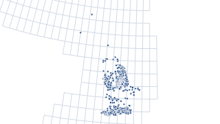
UK England onshore petroleum wellbores top holes
A wellbore is a path of drilled footage from the Well Origin to a terminating point. The location of each wellbore is the wellbore's well origin. A well origin is the location on the surface of the earth or sea bed where the drill bit penet
 Points
Wells
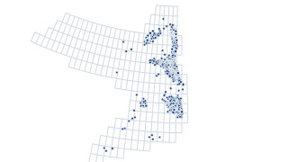
UKCS offshore wellbores bottom holes
A wellbore is a path of drilled footage from the Well Origin to a terminating point. The location of each wellbore is the wellbore's well origin. A well origin is the location on the surface of the earth or sea bed where the drill bit penet
 Points
Onshore (England)
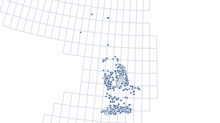
UK England onshore petroleum wellbores bottom holes
A wellbore is a path of drilled footage from the Well Origin to a terminating point. The location of each wellbore is the wellbore's well origin. A well origin is the location on the surface of the earth or sea bed where the drill bit penet
 Lines
Onshore (England)
UK England onshore petroleum wellbores straight line connection
A wellbore is a path of drilled footage from the Well Origin to a terminating point. The location of each wellbore is the wellbore's well origin. A well origin is the location on the surface of the earth or sea bed where the drill bit penet
 Areas
Fields & Production
UKCS offshore hydrocarbon fields
Offshore field outlines as provided by operators at the point of field determination or re-determination. A hydrocarbon field is defined by the NSTA as a single geological petroleum structure encompassing the maximum extent of hydrocarbons
 Areas
Onshore (England)
UK England onshore hydrocarbon fields
Onshore field outlines as provided by operators at the point of field determination or re-determination. A hydrocarbon field is defined by the NSTA as a single geological petroleum structure encompassing the maximum extent of hydrocarbons (
 Points
Fields & Production
UKCS hydrocarbon field production reports PPRS points
Contains recent and historic production data for Oil Tanker to Loader, Dry Gas Fields, Oil Field Exporting to Pipeline, and Onshore Oil Field unit types. PON 7 and petroleum reporting is handled under the PPRS (Petroleum Production Reportin
 Areas
Licensing & Rounds
UKCS offshore petroleum licence blocks
A Licence is a geographically defined area for prospecting, exploration or extraction of petroleum resources. The North Sea Transition Authority's licensing system covers oil and gas within Great Britain, its territorial sea and on the UK C
 Areas
Licensing & Rounds
UKCS offshore petroleum licence blocks history
A Licence is a geographically defined area for prospecting, exploration or extraction of petroleum resources. The North Sea Transition Authority's licensing system covers oil and gas within Great Britain, its territorial sea and on the UK C
 Areas
Onshore (England)
UK England onshore petroleum licence blocks
A Licence is a geographically defined area for prospecting, exploration or extraction of petroleum resources. The North Sea Transition Authority's licensing system covers oil and gas within Great Britain, its territorial sea and on the UK C
 Areas
Onshore (England)
UK England onshore petroleum licence blocks history
A Licence is a geographically defined area for prospecting, exploration or extraction of petroleum resources. The North Sea Transition Authority's licensing system covers oil and gas within Great Britain, its territorial sea and on the UK C
 Areas
Licensing & Rounds
UKCS offshore petroleum unlicensed blocks
A Licence is a geographically defined area for prospecting, exploration or extraction of petroleum resources. The North Sea Transition Authority's licensing system covers oil and gas within Great Britain, its territorial sea and on the UK C
 Areas
Onshore (England)
UK England onshore petroleum unlicensed blocks
UKCS onshore petroleum unlicensed blocks in WGS84 (EPSG: 4326) A Licence is a geographically defined area for prospecting, exploration or extraction of petroleum resources. The North Sea Transition Authority's licensing system covers oil an
 Areas
Licensing & Rounds
UKCS relinquished petroleum licence blocks
Licensed block relinquishments with links to PDF relinquishment reports.
 Areas
Licensing & Rounds
UK England relinquished petroleum licence blocks
Licensed block relinquishments with links to PDF relinquishment reports.
 Points
Onshore (England)
UK England coal mine methane vents
Coal mine methane vent locations with their current status
 Areas
Geology & Aquifers
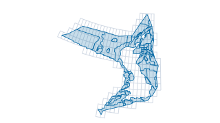
UKCS geological subareas
Generic geological subarea boundaries on the UKCS.
 Areas
Geology & Aquifers
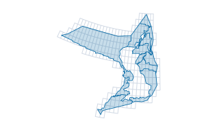
UKCS major geological areas
Generic geological boundaries on the UKCS.
 Areas
Fields & Production
UKCS petroleum field determinations
A field determination defines the geographic boundary encompassing the maximum extent of an oil or gas field for regulatory and tax purposes. Determinations are required before the NSTA consents to a Field Development Plan, and provided by
Fields & Production
Field production (PPRS) dashboard
Field production (PPRS) dashboard
Maps & Reference
UKCS offshore activity
This interactive map has been produced by the NSTA to assist companies and members of the public with information that will help them understand offshore activities in the UK’s Territorial Sea and its designated Continental Shelf (“the offs
 Points
Infrastructure & Decommissioning
UKCS offshore infrastructure pipeline points removed
UKCS offshore infrastructure pipeline points removed (ETRS89)
 Lines
Infrastructure & Decommissioning
UKCS offshore infrastructure pipeline linear
NSTA Infrastructure Data is a set of data reported to the NSTA by relevant persons pursuant to Section 34 of the 2016 Energy Act. The data represents physical structures and facilities installed on the UKCS in fulfilment of relevant persons
 Lines
Infrastructure & Decommissioning
UKCS offshore infrastructure pipeline linear removed
UKCS offshore infrastructure pipeline linear removed (ETRS89)
 Lines
Infrastructure & Decommissioning
UKCS offshore infrastructure subsea linear
NSTA Infrastructure Data is a set of data reported to the NSTA by relevant persons pursuant to Section 34 of the 2016 Energy Act. The data represents physical structures and facilities installed on the UKCS in fulfilment of relevant persons
 Points
Infrastructure & Decommissioning
UKCS offshore infrastructure pipeline points
NSTA Infrastructure Data is a set of data reported to the NSTA by relevant persons pursuant to Section 34 of the 2016 Energy Act. The data represents physical structures and facilities installed on the UKCS in fulfilment of relevant persons
Fields & Production
Field Partners
This table details field partners for hydrocarbon fields in production in the UKCS, it is updated daily. While every effort is made to ensure that this information is correct and up-to-date, North Sea Transition Authority does not accept an
 Areas
Carbon & Gas Storage
UKCS carbon storage provisional licence awards
UKCS carbon storage provisional licence awards (ETRS89)
 Areas
Carbon & Gas Storage
UKCS carbon storage areas offered for application
The North Sea Transition Authority (NSTA) is today (9 December) launching the UK's second carbon storage licensing round with 14 areas available for application. The areas being offered for licensing are in the Southern North Sea, Central N
Licensing & Rounds
UKCS licence rounds
This map shows round specific data including indicative areas, blocks offered and any potential awards.
 Points
Infrastructure & Decommissioning
UKCS offshore infrastructure surface points
NSTA Infrastructure Data is a set of data reported to the NSTA by relevant persons pursuant to Section 34 of the 2016 Energy Act. The data represents physical structures and facilities installed on the UKCS in fulfilment of relevant persons
 Points
Infrastructure & Decommissioning
UKCS offshore infrastructure surface points removed
NSTA Infrastructure Data is a set of data reported to the NSTA by relevant persons pursuant to Section 34 of the 2016 Energy Act. The data represents physical structures and facilities installed on the UKCS in fulfilment of relevant persons
 Points
Infrastructure & Decommissioning
UKCS offshore infrastructure subsea points
NSTA Infrastructure Data is a set of data reported to the NSTA by relevant persons pursuant to Section 34 of the 2016 Energy Act. The data represents physical structures and facilities installed on the UKCS in fulfilment of relevant persons
 Areas
Onshore (England)
UK England onshore petroleum field determinations
A field determination defines the geographic boundary encompassing the maximum extent of an oil or gas field for regulatory and tax purposes. Determinations are required before the NSTA consents to a Field Development Plan, and provided by
Onshore (England)
UK England onshore oil and gas activity
This interactive map has been produced by NSTA to assist companies and members of the public with information that will help understand oil and gas exploration and production activity onshore in Great Britain. Some features have been simpli
 Areas
Carbon & Gas Storage
UKCS current gas storage licences
Current natural gas storage licences on the UKCS.
Licensing & Rounds
UKCS offshore energy: lease agreements
The UKCS offshore energy:lease agreements app provides information about renewables infrastructure on the UK continental shelf. It shows offshore renewable lease agreed areas by The Crown Estate and Crown Estate Scotland, as well as petrole
Geology & Aquifers
CNS Pressure Data and Shapefiles
HPHT fields in the North Sea account for a significant portion of UK total production. Expediting the successful exploitation of new HPHT structures in the UKCS can play a major role in maximising economic recovery and extending the asset l
 Areas
Carbon & Gas Storage
UKCS carbon storage site - current
Carbon capture and storage (CCS) refers to a number of techniques and processes which capture carbon dioxide emissions, generally from industrial processes. The carbon dioxide (CO2) can then be transported, including via repurposed gas pipe
 Areas
Carbon & Gas Storage
UKCS carbon storage complex - current
Carbon capture and storage (CCS) refers to a number of techniques and processes which capture carbon dioxide emissions, generally from industrial processes. Thecarbon dioxide (CO2) can then be transported, including via repurposed gas pipel
 Lines
Seismic & Geophysics
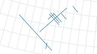
UKCS government seismic Rockall lines 2014
Location information for Government Released seismic surveys
 Lines
Seismic & Geophysics
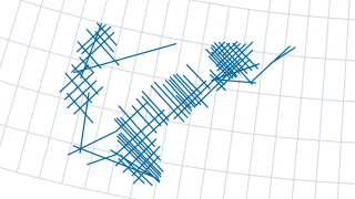
UKCS government seismic Rockall lines 2015
Location informationfor Government Released seismic surveys
Data Releases
NSTA Offshore Zipped Shapefiles ED50
This is a zipped file containing all regularly updated NSTA offshore shapefiles. Note that this zip does not and will not contain round-associated shapefiles.
Data Releases
NSTA Offshore Zipped Shapefiles ETRS89
This is a zipped file containing all regularly updated NSTA offshore shapefiles. Note that this zip does not and will not contain round-associated shapefiles.
Onshore (England)
NSTA Onshore Zipped Shapefiles BNG
This is a zipped file containing all regularly updated NSTA onshore shapefiles. Note that this zip does not and will not contain round-associated shapefiles.
Data Releases
NSTA Offshore Zipped Shapefiles WGS84
This is a zipped file containing all regularly updated NSTA offshore shapefiles. Note that this zip does not and will not contain round-associated shapefiles.
 Points
Fields & Production
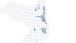
UKCS offshore petroleum undeveloped discoveries as at 32nd UK Offshore Licensing Round
OGA's Undeveloped Discoveries with links to UKOilandDasData.com where montages and data packs can be downloaded. This dataset was produced for the 32nd UK Offshore Licensing Round and is not subject to further updates.
 Points
Geology & Aquifers
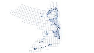
UKCS regional aquifers - well penetration
Stratigraphic interpretation carried out on behalf of the NSTA by Lloyd's Register, as part of a comprehensive, multi-year, regional-scale evaluation of reservoir presence across the UKCS. The interpretation supported the production of regi
Wells
UKCS exploration and appraisal wells
This map shows recent (from 1st January 2018) exploration and appraisal wellbore summary results published by the NSTA. Summary well information can be published by the NSTA under UK Statutory Instruments 2018, No. 898, PART 2, Regulation 8
Carbon & Gas Storage
CO2 storage appraisal ranking
CO2 storage appraisal ranking
 Areas
Seismic & Geophysics
UKCS regional aquifers - 3D seismic
The location of the 3D seismic data that were interpreted by Lloyd's Register as part of a comprehensive, multi-year, regional-scale evaluation of reservoir presence across the UKCS. The interpretation supported the production of regional g
 Areas
Geology & Aquifers
UKCS regional aquifers - hydrocarbon fields
Based on a variety of publicly accessible datasets, this dataset associates hydrocarbon fields with stratigraphic intervals. The dataset includes the interpreted status of key geological intervals associated with hydrocarbon fields. Status
Fields & Production
2024 Emissions footprint of UK domestic and imported gas
This factsheet summarises a comparison of the best estimates of the greenhouse gas (GHG) emissions footprint of the UK’s domestic gas supply, to the emissions footprint of gas imported as liquefied natural gas (LNG) or gas imported via pipe
 Areas
Carbon & Gas Storage
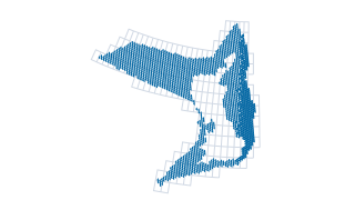
UKCS CO2 storage appraisal rank
This dataset presents the NSTA's CO2 Storage Appraisal Ranking for the UK Continental Shelf (UKCS). The data is structured as a regular hexagonal grid covering the full extent of the UKCS. Each hexagon contains scores for 24 geological form
Licensing & Rounds
UKCS petroleum licence documents
This app enables users to search for offshore, onshore, gas storage and CCS Licence documents, view the spatial extent of Licensed Areas, see important information about the Licence, and download the document directly.
Licensing & Rounds
UKCS exploration data availability
Use this application to search for freely available numerous licence round and other geoscientific data packages (>400GB). The data was originally released for petroleum e xploration ; however, it can also be used to aid the understanding a
Licensing & Rounds
UKCS quadrant maps
Locate q uadrants and download PDF maps containing oil and gas activity data at different scales ( quadrant, region al , and UKCS ) .
Licensing & Rounds
UKCS 33rd petroleum licence round data
Explore the map of NSTA 33rd Offshore Petroleum Licence Round offerings and associated reference data.
Geology & Aquifers
UKCS Central North Sea pressure cells
HPHT fields in the North Sea account for a significant portion of UK total production. Expediting the successful exploitation of new HPHT structures in the UKCS can play a major role in maximising economic recovery and extending the asset l
Licensing & Rounds
UKCS petroleum licence relinquishment reports
Relinquishment Reports A licensee can relinquish a licence or surrender acreage from a production licence at any time. The licensee must send the NSTA a Relinquishment Report within three months of the licence being relinquished. This repor
 Areas
Geology & Aquifers
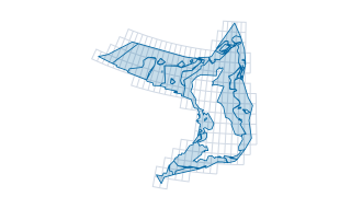
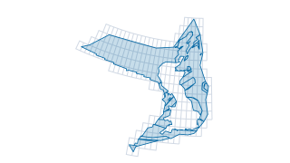
UKCS regional aquifer map: Lower Eocene Lower Ypresian T50
The NSTA Regional Aquifer Presence Maps publication contains a series of geological maps, each representing a discrete stratigraphic play interval within the UK Continental Shelf. The feature classes aim to characterise the subsurface geolo
 Areas
Geology & Aquifers
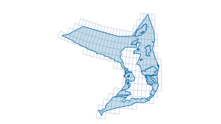
UKCS regional aquifer map: Devonian
The NSTA Regional Aquifer Presence Maps publication contains a series of geological maps, each representing a discrete stratigraphic play interval within the UK Continental Shelf. The feature classes aim to characterise the subsurface geolo
 Areas
Geology & Aquifers
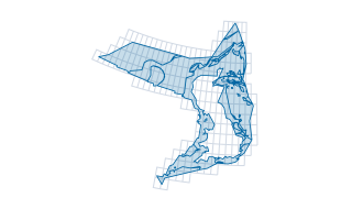
UKCS regional aquifer map: Lower Carboniferous
The NSTA Regional Aquifer Presence Maps publication contains a series of geological maps, each representing a discrete stratigraphic play interval within the UK Continental Shelf. The feature classes aim to characterise the subsurface geolo
 Areas
Geology & Aquifers
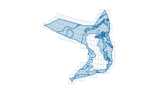
UKCS regional aquifer map: Lower Cretaceous Aptian
The NSTA Regional Aquifer Presence Maps publication contains a series of geological maps, each representing a discrete stratigraphic play interval within the UK Continental Shelf. The feature classes aim to characterise the subsurface geolo
 Areas
Geology & Aquifers
UKCS regional aquifer map: Lower Cretaceous Valanginian Barremian
The NSTA Regional Aquifer Presence Maps publication contains a series of geological maps, each representing a discrete stratigraphic play interval within the UK Continental Shelf. The feature classes aim to characterise the subsurface geolo
 Areas
Geology & Aquifers
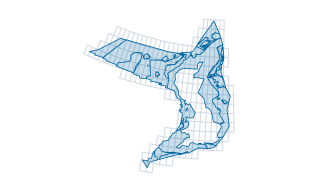
UKCS regional aquifer map: Lower Eocene Lower Ypresian T40
The NSTA Regional Aquifer Presence Maps publication contains a series of geological maps, each representing a discrete stratigraphic play interval within the UK Continental Shelf. The feature classes aim to characterise the subsurface geolo
 Areas
Geology & Aquifers
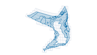
UKCS regional aquifer map: Lower Eocene Lower Ypresian T45
The NSTA Regional Aquifer Presence Maps publication contains a series of geological maps, each representing a discrete stratigraphic play interval within the UK Continental Shelf. The feature classes aim to characterise the subsurface geolo
 Areas
Geology & Aquifers
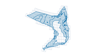
UKCS regional aquifer map: Lower Eocene Upper Ypresian T60 T82
The NSTA Regional Aquifer Presence Maps publication contains a series of geological maps, each representing a discrete stratigraphic play interval within the UK Continental Shelf. The feature classes aim to characterise the subsurface geolo
 Areas
Geology & Aquifers
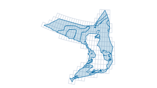
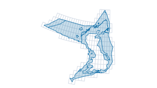
UKCS regional aquifer map: Lower Jurassic
The NSTA Regional Aquifer Presence Maps publication contains a series of geological maps, each representing a discrete stratigraphic play interval within the UK Continental Shelf. The feature classes aim to characterise the subsurface geolo
 Areas
Geology & Aquifers
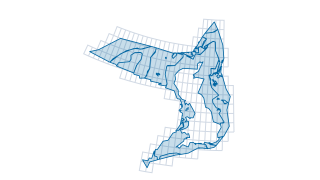
UKCS regional aquifer map: Lower Paleocene Danian T10
The NSTA Regional Aquifer Presence Maps publication contains a series of geological maps, each representing a discrete stratigraphic play interval within the UK Continental Shelf. The feature classes aim to characterise the subsurface geolo
 Areas
Geology & Aquifers
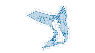
UKCS regional aquifer map: Middle Eocene Lutetian T92 T94
The NSTA Regional Aquifer Presence Maps publication contains a series of geological maps, each representing a discrete stratigraphic play interval within the UK Continental Shelf. The feature classes aim to characterise the subsurface geolo
 Areas
Geology & Aquifers
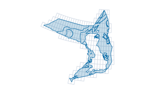
UKCS regional aquifer map: Middle Jurassic Bathonian
The NSTA Regional Aquifer Presence Maps publication contains a series of geological maps, each representing a discrete stratigraphic play interval within the UK Continental Shelf. The feature classes aim to characterise the subsurface geolo
 Areas
Geology & Aquifers
UKCS regional aquifer map: Middle Jurassic Callovian
The NSTA Regional Aquifer Presence Maps publication contains a series of geological maps, each representing a discrete stratigraphic play interval within the UK Continental Shelf. The feature classes aim to characterise the subsurface geolo
 Areas
Geology & Aquifers
UKCS regional aquifer map: Middle Permian Guadalupian
The NSTA Regional Aquifer Presence Maps publication contains a series of geological maps, each representing a discrete stratigraphic play interval within the UK Continental Shelf. The feature classes aim to characterise the subsurface geolo
 Areas
Geology & Aquifers
UKCS regional aquifer map: Middle Upper Eocene Bartonian Priabonian T96 T98
The NSTA Regional Aquifer Presence Maps publication contains a series of geological maps, each representing a discrete stratigraphic play interval within the UK Continental Shelf. The feature classes aim to characterise the subsurface geolo
 Areas
Geology & Aquifers
UKCS regional aquifer map: Triassic
The NSTA Regional Aquifer Presence Maps publication contains a series of geological maps, each representing a discrete stratigraphic play interval within the UK Continental Shelf. The feature classes aim to characterise the subsurface geolo
 Areas
Geology & Aquifers
UKCS regional aquifer map: Upper Carboniferous
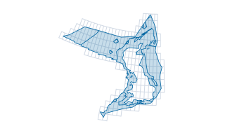
The NSTA Regional Aquifer Presence Maps publication contains a series of geological maps, each representing a discrete stratigraphic play interval within the UK Continental Shelf. The feature classes aim to characterise the subsurface geolo
 Areas
Geology & Aquifers
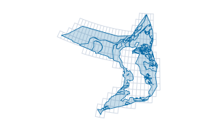
UKCS regional aquifer map: Upper Cretaceous
The NSTA Regional Aquifer Presence Maps publication contains a series of geological maps, each representing a discrete stratigraphic play interval within the UK Continental Shelf. The feature classes aim to characterise the subsurface geolo
 Areas
Geology & Aquifers
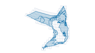
UKCS regional aquifer map: Upper Jurassic Kimmeridgian Tithonian
The NSTA Regional Aquifer Presence Maps publication contains a series of geological maps, each representing a discrete stratigraphic play interval within the UK Continental Shelf. The feature classes aim to characterise the subsurface geolo
 Areas
Geology & Aquifers
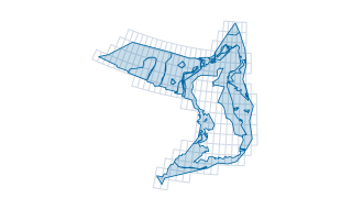
UKCS regional aquifer map: Upper Jurassic Oxfordian
The NSTA Regional Aquifer Presence Maps publication contains a series of geological maps, each representing a discrete stratigraphic play interval within the UK Continental Shelf. The feature classes aim to characterise the subsurface geolo
 Areas
Geology & Aquifers
UKCS regional aquifer map: Upper Paleocene Selandian T20
The NSTA Regional Aquifer Presence Maps publication contains a series of geological maps, each representing a discrete stratigraphic play interval within the UK Continental Shelf. The feature classes aim to characterise the subsurface geolo
 Areas
Geology & Aquifers
UKCS regional aquifer map: Upper Paleocene Selandian T31 T34
The NSTA Regional Aquifer Presence Maps publication contains a series of geological maps, each representing a discrete stratigraphic play interval within the UK Continental Shelf. The feature classes aim to characterise the subsurface geolo
 Areas
Geology & Aquifers
UKCS regional aquifer map: Upper Paleocene Thanetian T35 T38
The NSTA Regional Aquifer Presence Maps publication contains a series of geological maps, each representing a discrete stratigraphic play interval within the UK Continental Shelf. The feature classes aim to characterise the subsurface geolo
 Areas
Geology & Aquifers
UKCS regional aquifer map: Upper Permian Lopingian
The NSTA Regional Aquifer Presence Maps publication contains a series of geological maps, each representing a discrete stratigraphic play interval within the UK Continental Shelf. The feature classes aim to characterise the subsurface geolo
 Lines
Seismic & Geophysics
UKCS regional aquifers - 2D seismic
The location of the 2D seismic data that were interpreted by Lloyd's Register as part of a comprehensive, multi-year, regional-scale evaluation of reservoir presence across the UKCS. The interpretation supported the production of regional g
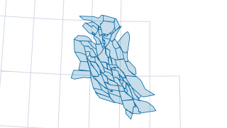 Areas
Geology & Aquifers
UKCS Central North Sea combined pressure cells
UKCS Central North Sea combined pressure cells (WGS84)
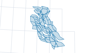 Areas
Geology & Aquifers
UKCS Central North Sea Jurassic pressure cells
UKCS Central North Sea Jurassic pressure cells (WGS84)
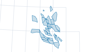 Areas
Geology & Aquifers
UKCS Central North Sea Triassic pressure cells
UKCS Central North Sea Triassic pressure cells (WGS84)
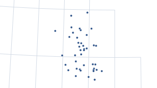 Points
Geology & Aquifers
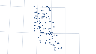
UKCS Central North Sea Triassic aquifer data wellbores
UKCS Central North Sea Triassic aquifer data wellbores (WGS84)
 Points
Geology & Aquifers
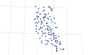
UKCS Central North Sea Jurassic aquifer data wellbores
UKCS Central North Sea Jurassic aquifer data wellbores (WGS84)
 Points
Geology & Aquifers
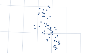
UKCS Central North Sea aquifer data wellbores
UKCS Central North Sea aquifer data wellbores (WGS84)
 Points
Wells
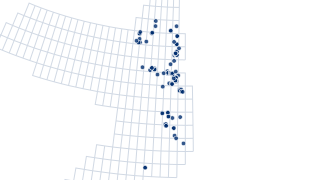
UKCS Central North Sea hydrocarbon data wellbores
UKCS Central North Sea hydrocarbon data wellbores (WGS84)
 Points
Wells
UKCS offshore petroleum exploration and appraisal wellbore results
Well Data Release: Exploration and Appraisal Well Results 1st January 2018 - 9th October 2025 Under the provisions of regulation 8 of the Disclosure Regulations the NSTA may disclose certain summary wellbore information as soon as the NSTA
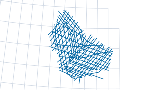 Lines
Seismic & Geophysics
UKCS government seismic MNSH lines 2015
Location informationfor Government Released seismic surveys
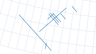 Lines
Seismic & Geophysics
UKCS government seismic OGA Rockall 2014
Location informationfor Government Released seismic surveys
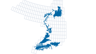 Lines
Seismic & Geophysics
UKCS government seismic released OGA surveys 2016
Location information for Government Released seismic surveys.
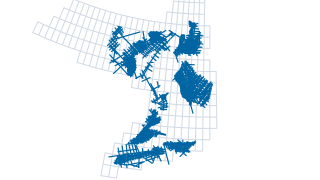 Lines
Seismic & Geophysics
UKCS government seismic released surveys 2016
Location informationfor Government Released seismic surveys
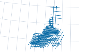 Lines
Seismic & Geophysics
UKCS government seismic survey ESP 2016
Location informationfor Government Released seismic surveys
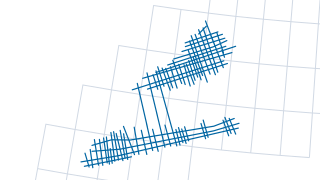 Lines
Seismic & Geophysics
UKCS government seismic survey SWoB 2016
Location informationfor Government Released seismic surveys
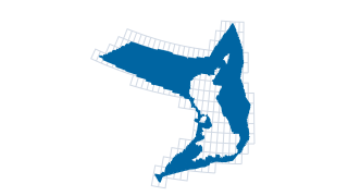 Areas
Licensing & Rounds
UKCS blocks
UKCS all blocks (reference dataset)
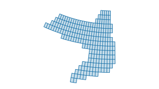 Areas
Licensing & Rounds
UKCS quadrants
Quadrants (generated 1 degree by 1 degree grid) covering both onshore and offshore UK.
 Points
Geology & Aquifers
UKCS Phase 1 East Shetland Platform source rock potential wellbore availability (IGI)
UKCS Phase 1 East Shetland Platform source rock potential wellbore availability (IGI) (WGS84)
 Points
Wells
UKCS wellbore availability collated tops
UKCS wellbore availability collated tops (WGS84)
 Points
Wells
UKCS wellbore availability reports 2016
UKCS wellbore availability reports 2016 (WGS84)
 Areas
Licensing & Rounds
UKCS 33rd offshore petroleum licencing rounds blocks on offer
UKCS 33rd offshore petroleum licencing rounds blocks on offer (ETRS89)
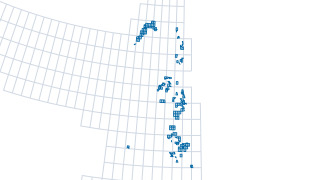 Areas
Licensing & Rounds
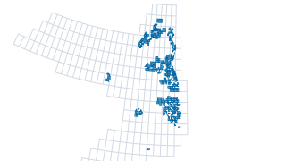
UKCS 33rd offshore petroleum licencing rounds provisional awards
***updated for Tranche 3 - 3rd May 2024***
 Areas
Licensing & Rounds
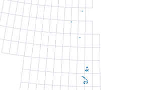
UKCS previous offshore petroleum licencing rounds provisional awards
UKCS previous offshore petroleum licencing rounds provisional awards (ETRS89)
 Areas
Fields & Production
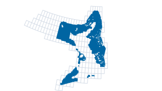
UKCS petroleum production data by field
Under the powers of the Energy Act 2016, detailed daily production data from individual wellbores must be reported to the NSTA, for the whole life of the field, as set out in the NSTA's Reporting and Disclosure of Information and Samples Gu
 Areas
Licensing & Rounds
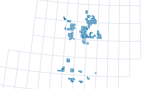
UKCS previous offshore petroleum licencing rounds blocks on offer
UKCS previous offshore petroleum licencing rounds blocks on offer (ETRS89)
 Areas
Onshore (England)
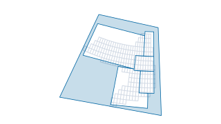
UK England 14th onshore petroleum licencing round awards
Outline of licences awarded in the 14th Licensing Round (2014)
 Areas
Maps & Reference
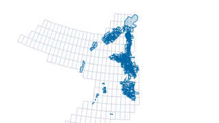
UKCS PDF map regions
Polygon outline of all UKCS named map regions, to be used in conjunction with the printable PDF maps Data and insights - Printable maps .
 Areas
Seismic & Geophysics
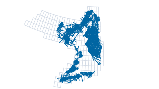
UKCS NDR 3D seismic surveys
Seismic Data from the previous (V1) National Data Repository, last updated on June 30th 2021. Seismic Header Information: NDR_2dseis_eab Navigation information for all offshore 2D seismic surveys, as reported to BEIS OPRED in seismic survey
 Lines
Seismic & Geophysics
UKCS NDR 2D SDS seismic lines
Seismic Data from the previous (V1) National Data Repository, last updated on June 30th 2021. Seismic Header Information: NDR_2dseis_eab Navigation information for all offshore 2D seismic surveys, as reported to BEIS OPRED in seismic survey
 Lines
Seismic & Geophysics
UKCS NDR 2D seismic surveys EAB
Seismic Data from the previous (V1) National Data Repository, last updated on June 30th 2021. Seismic Header Information: NDR_2dseis_eab Navigation information for all offshore 2D seismic surveys, as reported to BEIS OPRED in seismic survey
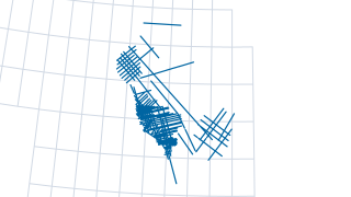
 Lines
Seismic & Geophysics
UKCS government seismic Rockall legacy reprocessed 2015
Location of government-released reprocessed legacy surveys
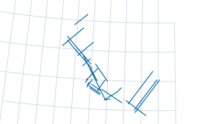
 Lines
Seismic & Geophysics
UKCS government seismic MNSH legacy post stack 2015
Location of government-released reprocessed legacy surveys
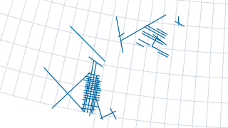
 Lines
Seismic & Geophysics
UKCS government seismic MNSH legacy reprocessed 2015
Location of government-released reprocessed legacy surveys
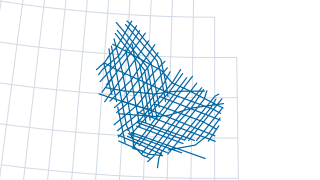
 Lines
Seismic & Geophysics
UKCS government seismic Rockall legacy post stack 2015
Location of government-released reprocessed legacy surveys
 Lines
Seismic & Geophysics
UKCS government seismic MNSH lines
Location information for Government Released seismic surveys
 Areas
Licensing & Rounds
UKCS petroleum licenced blocks relinquishment frequency
UKCS petroleum licenced blocks relinquishment frequency (ETRS89)
Data Releases
CGG Core Analysis Database
The CGG Core Analysis Database provides core analysis data (e.g. porosity, permeability, lithology) for cores from over 2000 wells in the UKCS. (Download size, 43GB).
Fields & Production
NSTA - UKCS Unsanctioned Discoveries
UK Continental Shelf Unsanctioned Discoveries Information Pack
 Areas
Seismic & Geophysics
UKCS NDR 3D SDS seismic outlines
Seismic Data from the previous (V1) National Data Repository, last updated on June 30th 2021. Seismic Header Information: NDR_2dseis_eab Navigation information for all offshore 2D seismic surveys, as reported to BEIS OPRED in seismic survey
 Areas
Data Releases
UKCS all NSTA data initiatives released
UKCS all NSTA data initiatives released (WGS84)
 Areas
Data Releases
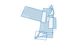
UKCS data initiatives released related to 30th round
This dataset is a product‑level catalogue of geoscience and subsurface information for the UK Continental Shelf, created to support the 30th Round Data Release and related initiatives. It aggregates deliverables from multiple providers—incl
 Areas
Data Releases
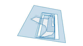
UKCS data initiatives released related to 31st round
This dataset is a structured index of subsurface and geological research products sourced from multiple UK and international providers. The entries represent deliverables from three main initiatives: Regional Geological Maps, the 31st Round
 Areas
Data Releases
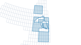
UKCS data initiatives released related to 32nd round
This dataset is a curated inventory of geoscience and exploration‑relevant products released as part of the 32nd Licence Round and Data Release. It brings together technical contributions from several major providers—including Getech, Badle
 Areas
Data Releases
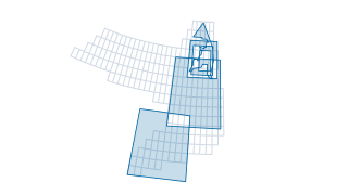
UKCS data initiatives released related to Central North Sea
This dataset presents a focused set of subsurface and geological information products sourced from multiple providers and delivered predominantly through the 30th Round Data Release, with one entry associated with the Regional Geological Ma
 Areas
Data Releases
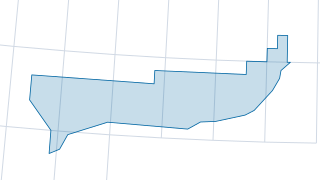
UKCS data initiatives released related to East Shetland Platform
This dataset brings together several geological and geoscience products released under the East Shetland Platform data initiatives. It captures who supplied each product and provides a clear view of the contributing organisations involved i
 Areas
Data Releases
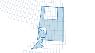
UKCS data initiatives released related to English Channel
Contains a set of regional geological maps for the given area including: depth structure, isochores, subcrop and supercrop, structural elements, depositional facies, reservoir distribution, source rock, well penetration and hydrocarbon occu
 Areas
Data Releases
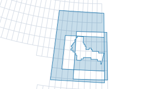
UKCS data initiatives released related to Irish Sea
UKCS data initiatives released related to Irish Sea (WGS84)
 Areas
Data Releases
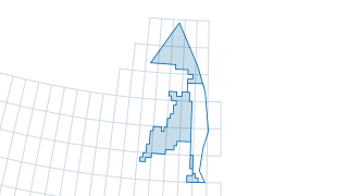
UKCS data initiatives released related to Mid North Sea High
UKCS data initiatives released related to Mid North Sea High (WGS84)
 Areas
Data Releases
UKCS data initiatives released related to Northern North Sea
UKCS data initiatives released related to Northern North Sea (WGS84)
 Areas
Data Releases
UKCS data initiatives released related to Rockall
UKCS data initiatives released related to Rockall (WGS84)
 Areas
Data Releases
UKCS data initiatives released related to South West Approaches
UKCS data initiatives released related to South West Approaches (WGS84)
 Areas
Data Releases
UKCS data initiatives released related to Southern North Sea
UKCS data initiatives released related to Southern North Sea (WGS84)
 Areas
Data Releases
UKCS data initiatives released related to UKCS
UKCS data initiatives released related to UKCS (WGS84)
 Areas
Data Releases
UKCS data initiatives released related to West of Britain
UKCS data initiatives released related to West of Britain (WGS84)
 Areas
Data Releases
UKCS data initiatives released related to West of Shetland
UKCS data initiatives released related to West of Shetland (WGS84)
 Areas
Data Releases
UKCS data initiatives released related to deviation surveys
Contains the data from CGG Core Analysis, Geothermal and Pressure Studies, specialised in the deviation surveys related to the 30th round data release
 Areas
Data Releases
UKCS data initiatives released related to geochemistry
This dataset compiles a set of geoscience products delivered through several UK initiatives, including the 30th Round Data Release, 21CXRM, 31st Round Data Release, and the 2016 Seismic Acquisition and Reprocessing Programme. Its purpose is
 Areas
Data Releases
UKCS data initiatives released related to geophysics
UKCS data initiatives released related to geophysics (WGS84)
 Areas
Data Releases
UKCS data initiatives released related to gravity
UKCS data initiatives released related to gravity (WGS84)
 Areas
Data Releases
UKCS data initiatives released related to magnetics
UKCS data initiatives released related to magnetics (WGS84)
 Areas
Data Releases
UKCS data initiatives released related to oil provenance
UKCS data initiatives released related to oil provenance (WGS84)
 Areas
Data Releases
UKCS data initiatives released related to petroleum systems
UKCS data initiatives released related to petroleum systems (WGS84)
 Areas
Data Releases
UKCS data initiatives released related to pressure
UKCS data initiatives released related to pressure (WGS84)
 Areas
Data Releases
UKCS data initiatives released related to prospects and relinquishments
UKCS data initiatives released related to prospects and relinquishments (WGS84)
 Areas
Data Releases
UKCS data initiatives released related to regional geology
UKCS data initiatives released related to regional geology (WGS84)
 Areas
Data Releases
UKCS data initiatives released related to rock physics
UKCS data initiatives released related to rock physics (WGS84)
 Areas
Data Releases
UKCS data initiatives released related to seismic
UKCS data initiatives released related to seismic (WGS84)
 Areas
Data Releases
UKCS data initiatives released related to source rock
UKCS data initiatives released related to source rock (WGS84)
 Areas
Data Releases
UKCS data initiatives released related to stratigraphy
UKCS data initiatives released related to stratigraphy (WGS84)
 Areas
Data Releases
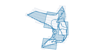
UKCS data initiatives released related to structural
UKCS data initiatives released related to structural (WGS84)
 Areas
Data Releases
UKCS data initiatives released related to wellbore logs
UKCS data initiatives released related to wellbore logs (WGS84)
 Areas
Data Releases
UKCS data initiatives released related to wellbore tops
UKCS data initiatives released related to wellbore tops (WGS84)
 Areas
Geology & Aquifers
UKCS Phase 1 East Shetland Platform project AOI (Frog Tech)
UKCS Phase 1 East Shetland Platform project AOI (Frog Tech) (WGS84)
 Areas
Geology & Aquifers
UKCS Phase 1 East Shetland Platform source rock potential AOI (IGI)
UKCS Phase 1 East Shetland Platform source rock potential AOI (IGI) (WGS84)
 Areas
Geology & Aquifers
UKCS Phase 1 South West Approaches project AOI (Getech)
UKCS Phase 1 South West Approaches project AOI (Getech) (WGS84)
 Areas
Geology & Aquifers
UKCS Phase 1 South West Approaches study AOI (BGS)
UKCS Phase 1 South West Approaches study AOI (BGS) (WGS84)
 Areas
Licensing & Rounds
UKCS exploration road map (21CXRM) phase 2
UKCS exploration road map (21CXRM) phase 2 (WGS84)
 Areas
Maps & Reference
UKCS grids (XYZ)
UKCS grids (XYZ) (WGS84)
Fields & Production
UKCS petroleum daily production data
Daily Production Data Under the powers of the Energy Act 2016, detailed daily production data from individual wellbores must be reported to the NSTA, for the whole life of the field, as set out in the NSTA's Reporting and Disclosure of Info
Infrastructure & Decommissioning
UKCS SDC infrastructure
The Subsea Decommissioning Collaboration (SDC) dataset is a point in time dataset. The dataset was created by merging data voluntarily provided by SDC operators with publicly available data provided to the NSTA under the Energy Act 2016, s.
Maps & Reference
NSTA virtual map gallery tour
Release date: 27 Oct 2020 Average views per month: 696 Sian Wilson (Senior Development Manager, Crown Estate Scotland)
Data Releases
OGTC Missed Pay Project Sword IT Data
The data provide in the downloadable zip files are artefacts of the OGTC Overlooked Pay Project and comprise data gathered and data conditioned by Sword IT Solutions and Energective. The data packages do not provide information on the proje
Data Releases
21CXRM Phase 2 East Shetland Platform Data Package
Integrated petroleum systems (PeST) studies and seep evaluations of the East Shetland Platform and SW Approaches area of the UKCS. The studies were carried out as an industry collaboration as part of the 21CXRM initiative. The studies were
Data Releases
21CXRM Phase 2 Southwest of Britain Data Package
Integrated petroleum systems (PeST) studies and seep evaluations of the East Shetland Platform and SW Approaches area of the UKCS. The studies were carried out as an industry collaboration as part of the 21CXRM initiative. The studies were
Data Releases
APT-Chemostrat Faroe-Shetland Basin Basement Characterisation and Thermal Calibration Database & Report
The APT-Chemostrat Faroe-Shetland Basin basement characterisation and thermal calibration database and report was published by the NSTA in May 2021 under the NSTA user agreement. The project comprises a PDF report and 5 excel files. The stu
Data Releases
CGG Pressure Database
The CGG Pressure Database includes pressure test data from over 1000 wells in the UKCS providing info on formation pressure, depth, test type and quality. (Download size,11GB).
Data Releases
CMS Data Package
The North Sea Transition Authority (NSTA) launched the 32nd Offshore Licensing Round on 11th July 2019. This included 16 blocks covering 15 Carboniferous and Bunter Fields that have reached CoP in the Southern North Sea Caister Murdoch Syst
Data Releases
OGTC Missed Pay Project Energective Data
The data provide in the downloadable zip files are artefacts of the OGTC Overlooked Pay Project and comprise data gathered and data conditioned by Sword IT Solutions and Energective. The data packages do not provide information on the proje
Geology & Aquifers
NSTA and Lloyd's Register East Irish Sea and Cardigan Bay Regional Geological Maps (ArcGIS version)
As part of the NSTA’s published 2018/19 Activity Plan, the NSTA is publishing a set of regional geological maps for the Cardigan Bay and East Irish Sea. These maps represent the eighth set of deliverables from a 3 year contract with Lloyd’s
Geology & Aquifers
NSTA and Lloyd's Register UKCS Merged Regional Geological Maps (ArcGIS version)
All data released with this set of geological maps is public domain data. The project has, however, benefited from a number of additional third-party data sources which have been used to help inform final maps and/or derive interpreted prod
Geology & Aquifers
NSTA and Lloyd's Register West of Shetland and Rockall Regional Geological Maps (ArcGIS version)
As part of the NSTA’s published 2018/19 Activity Plan, the NSTA is publishing a set of regional geological maps for the West of Shetland and West of Hebrides. These maps represent the seventh set of deliverables from a 3 year contract with
Geology & Aquifers
NSTA and Lloyd's Register West of Shetland and Rockall Regional Geological Maps (Open Source version)
As part of the NSTA’s published 2018/19 Activity Plan, the NSTA is publishing a set of regional geological maps for the West of Shetland and West of Hebrides. These maps represent the seventh set of deliverables from a 3 year contract with
Geology & Aquifers
Total Regional Review Dinantian Play SNS (2007)
A regional review by Total E & P on the Dinantian (Lower Carboniferous) carbonate play in the Southern North Sea and Onshore UK. This report was prepared for the UK Department of business Enterprise and Regulatory Reform (DBERR) to promote
Geology & Aquifers
University of Aberdeen – NSTA Frontier Basins Rockall Project: A new view of the UK Rockall Prospectivity (Final)
This delivery provides the final products from a two year post-doctoral research project that was undertaken at the University of Aberdeen. This project is focused on the Rockall Trough area of the UKCS and is one of three projects funded b
Licensing & Rounds
32nd Round Provisional Award Map (CNS)
Central North Sea 32nd Round Provisional Awards Map
Licensing & Rounds
32nd Round Provisional Award Map (NNS)
Northern North Sea 32nd Round Provisional Awards Map
Licensing & Rounds
32nd Round Provisional Award Map (SNS)
Southern North Sea 32nd Round Provisional Awards Map
Licensing & Rounds
32nd Round Provisional Award Map (WOS)
West of Shetland 32nd Round Provisional Awards Map
Licensing & Rounds
OCTek-UK
In collaboration with Badley Geoscience, the NSTA is making available Badley’s OC Tek -U K products. OCTek -UK provides maps and grids of crustal structure for the UK and adjacent areas, produced by application of the OCTek gravity inversio
Licensing & Rounds
UKCS 33rd Round Opportunity Summary PDFs
Download all PDF summary sheets of featured opporunities for the UKCS 33rd offshore petroleum round
Seismic & Geophysics
East Shetland Platform 2D Interpretation Workflow Report
This project formed part of the 2016 2D seismic data release by the NSTA. The project, carried out by PGS Reservoir, produced a series of profile lines across the dataset.
Data Releases
CGG Additional JDWLs
As part of the Data Purchase tender process (TRN097012017) that was carried out during Q1 2017, the NSTA has purchased CGG ’s joined digital well logs (JDWL), deviation surveys and time-depth curves for approximately 900 UKCS exploration an
Data Releases
CGG Digital Well Logs
The NSTA has recently purchased digital well data from CGG for an additional 2235 E&A wells. These have been selected from across the UKCS to complement the existing joined digital well logs that the NSTA has previously released either in s
Data Releases
CGG Geothermal Database
As part of the Data Purchase tender process (TRN097012017) that was carried out during Q1 2017, the NSTA has purchased CGG's Geothermal database. All of the CGG data has been purchased with publication rights, enabling the NSTA to make thes
Data Releases
Ikon Reports for NSTA-selected wells
This delivery contains a subset of wells from Ikon Science's regional Roknowledge studies which were within some of the areas open as part of the 30th Licencing Round. The wells have been selected from the West of Shetlands and Central Nort
Data Releases
NSTA Collated Well Tops
Collated well tops for the UKCS
Data Releases
NSTA JDWL 30th Round
NSTA joined digital well logs selected for release for the 30th Round
Data Releases
Shell and ExxonMobil Technical Reports
A number of formerly proprietary reports, courtesy of Shell and ExxonMobil, covering regional and subsurface aspects of the Central North Sea, including individual operators’ experiences in low cost well and completion design
Data Releases
Shell/ExxonMobil Geochemistry Database for Central North Sea
Continued collaboration with Shell and ExxonMobil has also resulted in the release of a significant geochemical database which contains raw and interpreted data plus associated reports from approximately 1800 wells around the UKCS.
Data Releases
Shell/ExxonMobil Geochemistry Database for Non-30th Round Areas
Continued collaboration with Shell and ExxonMobil has also resulted in the release of a significant geochemical database which contains raw and interpreted data plus associated reports from approximately 1800 wells around the UKCS.
Data Releases
Shell/ExxonMobil Geochemistry Database for Northern North Sea
Continued collaboration with Shell and ExxonMobil has also resulted in the release of a significant geochemical database which contains raw and interpreted data plus associated reports from approximately 1800 wells around the UKCS.
Data Releases
Shell/ExxonMobil Geochemistry Database for Southern North Sea
Continued collaboration with Shell and ExxonMobil has also resulted in the release of a significant geochemical database which contains raw and interpreted data plus associated reports from approximately 1800 wells around the UKCS.
Data Releases
Shell/ExxonMobil Geochemistry Database for West of Britain
Continued collaboration with Shell and ExxonMobil has also resulted in the release of a significant geochemical database which contains raw and interpreted data plus associated reports from approximately 1800 wells around the UKCS.
Data Releases
Shell/ExxonMobil Geochemistry Database for West of Shetland
Continued collaboration with Shell and ExxonMobil has also resulted in the release of a significant geochemical database which contains raw and interpreted data plus associated reports from approximately 1800 wells around the UKCS.
Data Releases
UKCS Seeps Database
The NSTA has purchased CGG’s NPA Satellite Mapping (NPA) database for the UKCS for publication. The UK database is composed of 983 individual ly interpreted satellite images, which form between a 10x and 20x temporal coverage, with 20x cove
Data Releases
UKCS Structural and Tectonic Elements Database
This structural and tectonics database has been purchased from Getech by the NSTA for publication. It is based on mapping using gravity and magnetic datasets, remote sensing data, geology maps, publicly available seismic data and literature
Fields & Production
NSTA - Unsanctioned Discoveries - NNS
PDF map showing the location of unsanctioned discoveries (small pools) and key infrastructure in the NNS
Geology & Aquifers
AFTA UKCS Regional Reports
In collaboration with Geotrack International , the NSTA is releasing the full catalogue of AFTA regional re ports produced by Geotrack for the UKCS. Thi s regional library represents a valuable source of data that can be used to aid the und
Geology & Aquifers
APT Geochemical evaluation of oil provenance & quality WoS
APT’s West of Shetlands geochemical database was purchased with publication rights by the NSTA in March 2017. In the interests of getting the data into the public domain for use by potential 30 th Licencing Round applicants, the data is bei
Geology & Aquifers
BGS Orcadian Final May 2016
This study, by petroleum geoscience team at the BGS, was created as part of the 21st Century exploration Roadmap (21CXRM). The petroleum geoscience team worked with the UK North Sea Transition Authority (NSTA), Oil and Gas UK and a consorti
Geology & Aquifers
BGS Palaeozoic Project
This zipped folder contains data from a study, by petroleum geoscience team at the BGS, which was created as part of the 21st Century exploration Roadmap (21CXRM). The petroleum geoscience team worked with the UK North Sea Transition Author
Geology & Aquifers
Durham University Post-Doctoral Research Project – New Appraisal of the Western Approaches Basins
This delivery represents the final products from a two year post-doctoral research project that was carried out by a consortium led by Durham University. This project was focused on the SW Approaches areas and was one of three projects fund
Geology & Aquifers
FROGTECH ESP SEEBASE Study
The East Shetland Platform SEEBASE study is an integrated interpretation of public domain and UK NSTA-supplied potential fields datasets, geological maps, plate reconstructions, literature, published cross-sections and seismic sections.
Geology & Aquifers
GeoStrat Jurassic Report (ArcGIS Version)
Geostrat Report – The Sequence Stratigraphy and Sandstone Play Fairways of the Late Jurassic Humber Group of the UK Central Graben This non-exclusive report was purchased by the NSTA from Geostrat as part of the Data Purchase tender process
Geology & Aquifers
GeoStrat Jurassic Report (open source version)
Geostrat Report – The Sequence Stratigraphy and Sandstone Play Fairways of the Late Jurassic Humber Group of the UK Central Graben This non-exclusive report was purchased by the NSTA from Geostrat as part of the Data Purchase tender process
Geology & Aquifers
Heriot-Watt University Mid North Sea High Project - Controls on the Structure, Stratigraphy and Prospectivity of the Mid North Sea High (Final)
This delivery provides final products from the two year post-doctoral research project that was undertaken at Heriot-Watt University. This project focused on the Mid North Sea High area of the UKCS and was one of three projects funded by th
Geology & Aquifers
Hypo-Lias: Hydrocarbon potential of the Lias
The original Phase 1 Hypo-Lias report was commissioned by a small group of industry sponsors and remains confidential to that group until 2019. The initial phase of the project was primarily focused around data from Norway and the Netherlan
Geology & Aquifers
IGI Source Rock Potential of the East Shetland Platform
Evaluation of the source rock potential of the East Shetland Platform including an interpretation report, a geochemical database, 1-D modelling input data and results and a comprehensive literature database.
Geology & Aquifers
NSTA Central North Sea and Moray Firth Regional Geological Maps (ArcGIS version)
As part of the NSTA’s published 2017/18 Activity Plan, the NSTA is publishing a set of regional geological maps for the Central North Sea and Moray Firth areas of the UKCS. These maps represent the first set of deliverables from a 3 year co
Geology & Aquifers
NSTA Central North Sea and Moray Firth Regional Geological Maps (Opensource version)
As part of the NSTA’s published 2017/18 Activity Plan, the NSTA is publishing a set of regional geological maps for the Central North Sea and Moray Firth areas of the UKCS. These maps represent the first set of deliverables from a 3 year co
Geology & Aquifers
NSTA Northern North Sea and East Shetland Platform Regional Geological Maps (ArcGIS Version)
As part of the NSTA's published 2018/19 Activity Plan, the NSTA is publishing a set of regional geological maps for the Northern North Sea and East Shetland Platform. These maps represent the third set of deliverables from a 3 year contract
Geology & Aquifers
NSTA Northern North Sea and East Shetland Platform Regional Geological Maps (Opensource version)
As part of the NSTA's published 2018/19 Activity Plan, the NSTA is publishing a set of regional geological maps for the Northern North Sea and East Shetland Platform. These maps represent the third set of deliverables from a 3 year contract
Geology & Aquifers
NSTA Northern North Sea and East Shetland Platform Regional Geological Maps (change only update)
As part of the NSTA's published 2018/19 Activity Plan, the NSTA is publishing a set of regional geological maps for the Northern North Sea and East Shetland Platform. These maps represent the third set of deliverables from a 3 year contract
Geology & Aquifers
NSTA and Lloyd's Register East Irish Sea and Cardigan Bay Regional Geological Maps (Open Source version)
As part of the NSTA’s published 2018/19 Activity Plan, the NSTA is publishing a set of regional geological maps for the Cardigan Bay and East Irish Sea. These maps represent the eighth set of deliverables from a 3 year contract with Lloyd’s
Geology & Aquifers
NSTA and Lloyd's Register English Channel Regional Geological Maps (ArcGIS version)
As part of the NSTA’s published 2018/19 Activity Plan, the NSTA is publishing a set of regional geological maps for the Engish Channel area of the UKCS. These maps represent the fifth set of deliverables from a 3 year contract with Lloyd’s
Geology & Aquifers
NSTA and Lloyd's Register English Channel Regional Geological Maps (Open Source version)
As part of the NSTA’s published 2018/19 Activity Plan, the NSTA is publishing a set of regional geological maps for the Engish Channel area of the UKCS. These maps represent the fifth set of deliverables from a 3 year contract with Lloyd’s
Geology & Aquifers
NSTA and Lloyd's Register Mid North Sea High and Forth Approaches Regional Geological Maps (ArcGIS version)
As part of the NSTA’s published 2018/19Activity Plan, the NSTA is publishing a set of regional geological maps for the Mid North Sea High and Forth Approaches areas of the UKCS. These maps represent the fifth set of deliverables from a 3 ye
Geology & Aquifers
NSTA and Lloyd's Register Mid North Sea High and Forth Approaches Regional Geological Maps (Open Source version)
As part of the NSTA’s published 2018/19Activity Plan, the NSTA is publishing a set of regional geological maps for the Mid North Sea High and Forth Approaches areas of the UKCS. These maps represent the fifth set of deliverables from a 3 ye
Geology & Aquifers
NSTA and Lloyd's Register SNS Regional Geological Maps (ArcGIS version)
Contains a set of regional geological maps for the given area including: depth structure, isochores, subcrop and supercrop, structural elements, depositional facies, reservoir distribution, source rock, well penetration and hydrocarbon occu
Geology & Aquifers
NSTA and Lloyd's Register SNS Regional Geological Maps (Open Source)
Contains a set of regional geological maps for the given area including: depth structure, isochores, subcrop and supercrop, structural elements, depositional facies, reservoir distribution, source rock, well penetration and hydrocarbon occu
Geology & Aquifers
NSTA and Lloyd's Register SW Approaches & Anglo Paris Basin Regional Geological Maps (ArcGIS version)
As part of the NSTA’s published 2018/19 Activity Plan, the NSTA is publishing a set of regional geological maps for the SW Approaches area. These maps represent the fourth set of deliverables from a 3 year contract with Lloyd’s Register (LR
Geology & Aquifers
NSTA and Lloyd's Register SW Approaches Regional Geological Maps (Open Source)
As part of the NSTA’s published 2018/19 Activity Plan, the NSTA is publishing a set of regional geological maps for the SW Approaches area. These maps represent the fourth set of deliverables from a 3 year contract with Lloyd’s Register (LR
Geology & Aquifers
NSTA and Lloyd's Register UKCS Merged Regional Geological Maps (Open Source version)
All data released with this set of geological maps is public domain data. The project has, however, benefited from a number of additional third-party data sources which have been used to help inform final maps and/or derive interpreted prod
Geology & Aquifers
Presentation Material from the NSTA Frontier Basins Research Workshop
This delivery provides copies of the technical presentations from the Frontier Basins Research Workshop that was hosted by the NSTA in collaboration with Heriot-Watt University on the 27th June 2018. The delivery also contains a short summa
Geology & Aquifers
UKCS Petroleum Systems Project: Year 1
The deliverables from the first year of the UKCS Petroleum Systems Project are being released in support of the 32 nd Licensing Round. This initial year was carried out in collaboration with Lloyd’s Register, IGI and the British Geological
Geology & Aquifers
University of Aberdeen – NSTA Frontier Basins Rockall Project: A new view of the UK Rockall Prospectivity (Interim)
This delivery provides interim products from the two year post-doctoral research project that is being undertaken at the University of Aberdeen. This project is focused on the Rockall Trough area of the UKCS and is one of three projects fun
Licensing & Rounds
30th Round Provisional Award Map (EIS)
30th Round Provisional Award Map (EIS)
Licensing & Rounds
30th Round Provisional Award Map (NNS)
30th Round Provisional Award Map (NNS)
Licensing & Rounds
30th Round Provisional Award Map (WoS)
30th Round Provisional Award Map (WoS)
Licensing & Rounds
30th Round Provisional Awards Map (CNS North)
Central North Sea (north section) 30th Round Provisional Awards Map
Licensing & Rounds
30th Round Provisional Awards Map (CNS south)
30th Round Provisional Awards Map (CNS south)
Licensing & Rounds
30th Round Provisional Awards Map (SNS)
30th Round Provisional Awards Map (SNS)
Licensing & Rounds
31st Round Provisional Award Map (CNS North)
Central North Sea (north section) 31st Round Provisional Awards Map
Licensing & Rounds
31st Round Provisional Award Map (CNS South)
Central North Sea (south section) 31st Round Provisional Awards Map
Licensing & Rounds
31st Round Provisional Award Map (Irish Sea)
Irish Sea 31st Round Provisional Awards Map
Licensing & Rounds
31st Round Provisional Award Map (NNS and WoS)
Northern North Sea and West of Shetland 31st Round Provisional Awards Map
Licensing & Rounds
31st Round Provisional Award Map (SNS)
Southern North Sea 31st Round Provisional Awards Map
Licensing & Rounds
31st Supplementary Round Blocks Offered
31st Supplementary Round Blocks Offered
Licensing & Rounds
31st Supplementary Round Indicative Areas (Greater Buchan)
31st Supplementary Round Indicative Areas (Greater Buchan)
Licensing & Rounds
BGS South West Approaches Study
A literature review of late and post Variscan basins in NW Europe has been carried out, and a fully referenced and extensive bibliography is presented. A review of literature on the rather long and complex Variscan orogenic cycle is followe
Licensing & Rounds
UKCS 31st Offshore Licensing Round Blocks on Offer
An A0 map showing the blocks on offer for the UKCS 31st Offshore Licensing Round.
Onshore (England)
Geodatabase to accompany Bowland Shale Study (BGS, NSTA)
Find more information here: https://www.ogauthority.co.uk/onshore/onshore-reports-and-data/reports-bowland-shale-gas-study/
Onshore (England)
Geodatabase to accompany Midland Valley Shale report (BGS, NSTA)
Find more information here: https://www.ogauthority.co.uk/onshore/onshore-reports-and-data/reports-bgs-midland-valley-of-scotland-shale/
Onshore (England)
Geodatabase to accompany Weald Shale study (BGS, NSTA)
Find more information here https://www.ogauthority.co.uk/onshore/onshore-reports-and-data/reports-bgs-weald-basin-jurassic-shale/
Seismic & Geophysics
BGS Irish Sea Final May 2016
This study, by petroleum geoscience team at the BGS, was created as part of the 21st Century exploration Roadmap (21CXRM). The petroleum geoscience team worked with the UK North Sea Transition Authority (NSTA), Oil and Gas UK and a consorti
Seismic & Geophysics
BGS MNSH Final March 2016
This study, by petroleum geoscience team at the BGS, was created as part of the 21st Century exploration Roadmap (21CXRM). The petroleum geoscience team worked with the UK North Sea Transition Authority (NSTA), Oil and Gas UK and a consorti
Seismic & Geophysics
Getech Gravity and Magnetic data SW Approaches and Western Europe
Compilation of processed gravity & magnetic potential fields data across the SW Approaches and Western Europe, including, but not limited to, an assessment of depth-to- basement, depth-to-Moho and estimates of total sediment thickness for t
Seismic & Geophysics
Getech UKCS Multi-Satellite Gravity Data
Getech’s Multi-Satellite Gravity data was purchased with publication rights by the NSTA as part of the Data Purchase tender process (TRN097012017) that was carried out during Q1 2017. The Getech Multi-Satellite data provides a high resoluti
Seismic & Geophysics
Rock Physics and Seismic Amplitude Calibration Study
In support of the 32nd Licence Round, the NSTA is releasing a rock physics study which has been conducted by Ikon Science. The study covers two parts of the UKCS – the Central North Sea (CNS) and the East Shetland Basin (ESB) and consists o
Fields & Production
NSTA - Unsanctioned Discoveries - CNS
PDF map showing the location of unsanctioned discoveries (small pools) and key infrastructure in the CNS
Fields & Production
NSTA - Unsanctioned Discoveries - MFB
PDF map showing the location of unsanctioned discoveries (small pools) and key infrastructure in the MFB
Fields & Production
NSTA - Unsanctioned Discoveries - SNS
PDF map showing the location of unsanctioned discoveries (small pools) and key infrastructure in the SNS
Geology & Aquifers
NSTA - UKCS Geological Basins
NSTA - UKCS Geological Basins
Infrastructure & Decommissioning
NSTA - UKCS Offshore Infrastructure
NSTA - UKCS Offshore Infrastructure
Licensing & Rounds
NSTA - TCE Leases & NSTA Licences
PDF map showing the interaction of NSTA licences with those issued by The Crown Estate (TCE)
Licensing & Rounds
NSTA - UKCS Current Licences
NSTA - UKCS Current Licences
Licensing & Rounds
NSTA - UKCS Designations
NSTA - UKCS Designations
Licensing & Rounds
UKCS quadrant maps (PDF)
One printable PDF map per UKCS quadrant (208 maps), showing oil and gas activity. On the Hub each quadrant is a separate item; here they are one entry with a file per quadrant.
Maps & Reference
NSTA - Oil & Gas Activity - CNS
NSTA - Oil & Gas Activity - CNS
Maps & Reference
NSTA - Oil & Gas Activity - NNS
NSTA - Oil & Gas Activity - NNS
Maps & Reference
NSTA - Oil & Gas Activity - SNS
NSTA - Oil & Gas Activity - SNS
Maps & Reference
NSTA - Oil & Gas Activity - UK
NSTA - Oil & Gas Activity - UK
Maps & Reference
NSTA - Oil & Gas Activity - WOS
NSTA - Oil & Gas Activity - WOS
Maps & Reference
NSTA - Oil and Gas Activity - Irish Sea
NSTA - Oil and Gas Activity - Irish Sea
Maps & Reference
UKOOA - Coordinate systems Guidance
This guidance note concerns the management of spatial data for UK Continental Shelf (UKCS) petroleum operations.
Onshore (England)
NSTA - Onshore Licences
PDF map of onshore activity
Seismic & Geophysics
NSTA - MNSH Government Seismic
PDF map of the MNSH government funded seismic lines
Seismic & Geophysics
NSTA - Rockall Government Seismic
PDF map of the Rockall government funded seismic lines
Fields & Production
Emissions monitoring report 2025
The oil and gas industry can play a significant role in the North Sea’s transition into a clean energy powerhouse. Oil and gas currently make up about three-quarters of the nation’s energy demand and will be part of the energy mix for decad
 Areas
Licensing & Rounds
UKCS BGS petroleum licence relinquishment prospects
An open database of opportunities as reported by operators in relinquishment reports. The data presented are as submitted in the reports and may contain errors or be incomplete. These data were last updated 13 September 2022 and are not par
 Points
Infrastructure & Decommissioning
UKCS SDC Infrastructure pipeline points
Subsea Decommissioning Collaboration (SDC) Offshore Infrastructure in the North Sea and United Kingdom Continental Shelf (UKCS). The Subsea Decommissioning Collaboration (SDC) dataset is a point in time dataset. The dataset was created by m
 Lines
Infrastructure & Decommissioning
UKCS SDC infrastructure pipelines
Subsea Decommissioning Collaboration (SDC) Offshore Infrastructure in the North Sea and United Kingdom Continental Shelf (UKCS). The Subsea Decommissioning Collaboration (SDC) dataset is a point in time dataset. The dataset was created by m
 Points
Licensing & Rounds
UKCS offshore relinquishment report opportunities
As part of the NSTA making more data accessible to industry, a spatial database of mapped exploration leads and prospects is being made available. This additional resource has been compiled from information contained in relinquishment repor
 Areas
Onshore (England)
UKCS BGS shale areas with linked reports
This report summarises the background geological knowledge and methodology which has enabled a preliminary in-place gas resource calculation to be undertaken for the Bowland-Hodder (Carboniferous) shale gas play
 Areas
Onshore (England)
UKCS prospective BGS shale areas
Prospective shale areas based on 2013 BGS study - Outline only
 Areas
Licensing & Rounds
UKCS previous offshore petroleum licencing rounds indicative areas
Areas that are planned to be on offer in offshore licensing rounds. This feature shows General Indicative Areas that are planned to be on offer in the 32nd Offshore Licensing Round. Final areas and specific selected blocks for 32nd Round ha
 Areas
Fields & Production
UKCS offshore petroleum fields daily production
UKCS offshore petroleum fields daily production (ED50)
 Points
Wells
UKCS petroleum production data by wellbore
Under the powers of the Energy Act 2016, detailed daily production data from individual wellbores must be reported to the NSTA, for the whole life of the field, as set out in the NSTA's Reporting and Disclosure of Information and Samples Gu
 Areas
Licensing & Rounds
UKCS 33rd offshore petroleum licencing rounds indicative areas
Areas that are planned to be on offer in offshore licensing rounds. This feature shows General Indicative Areas that are planned to be on offer in the 32nd Offshore Licensing Round. Final areas and specific selected blocks for 32nd Round ha
 Areas
Licensing & Rounds
UKCS 33rd offshore petroleum licencing rounds featured prospects
Resource inventory created by the British Geological Survey (BGS) for the North Sea Transition Authority (NSTA) from public access data contained in the Relinquishment reports submitted to the OGA. To be published before the 33rd Licencing
 Areas
Licensing & Rounds
UKCS 33rd offshore petroleum licencing rounds featured cluster areas
UKCS 33rd offshore petroleum licencing rounds featured cluster areas (ETRS89)
 Areas
Onshore (England)
UK England UKOGL onshore historic fields
UK England UKOGL onshore historic fields (BNG)
 Areas
Onshore (England)
UK England onshore blocks
UK onshore all blocks (reference dataset)
 Areas
Onshore (England)
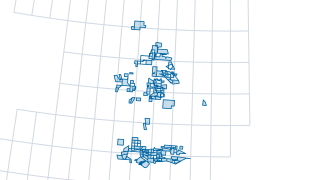
UK England UKOGL historic onshore petroleum licence relinquishments
UK England UKOGL historic onshore petroleum licence relinquishments (BNG)
 Points
Infrastructure & Decommissioning
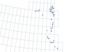
UKCS SDC infrastructure point structures
Subsea Decommissioning Collaboration (SDC) Offshore Infrastructure in the North Sea and United Kingdom Continental Shelf (UKCS). The Subsea Decommissioning Collaboration (SDC) dataset is a point in time dataset. The dataset was created by m
 Areas
Geology & Aquifers
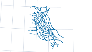
UKCS Central North Sea pressure cell boundaries
UKCS Central North Sea pressure cell boundaries (WGS84)